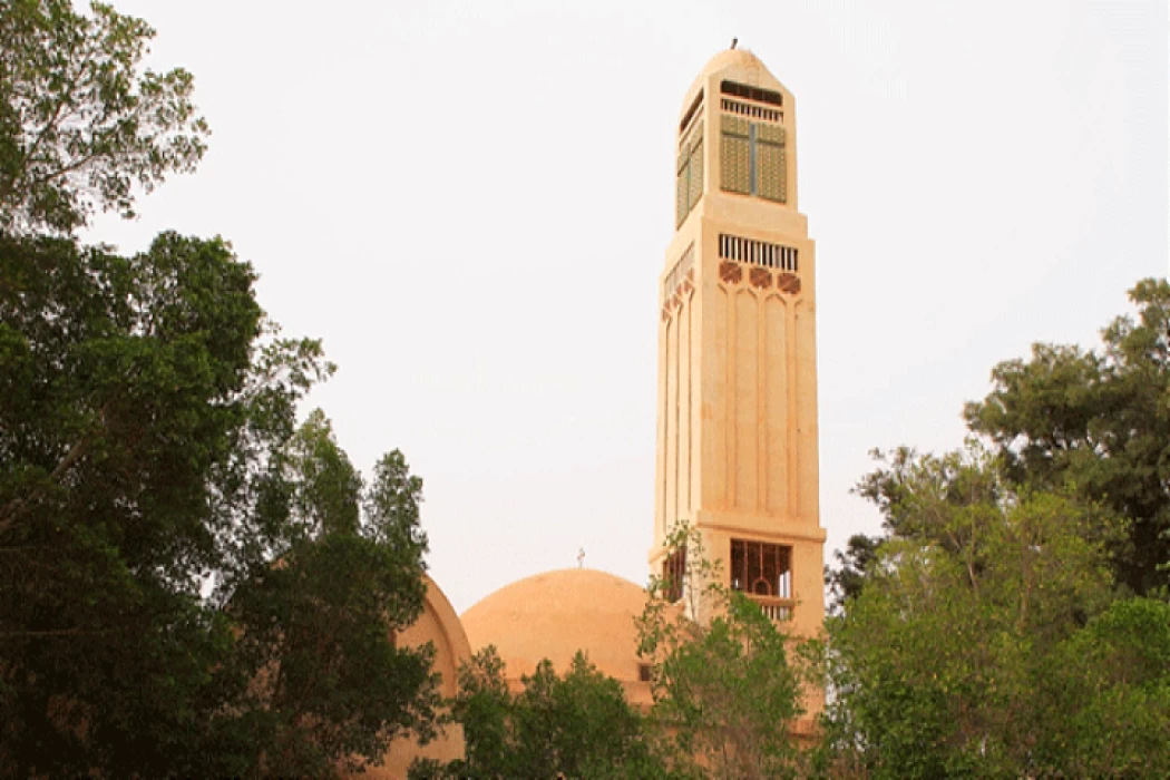
Wadi El-Natrun in Egypt
Essential information about Egypt's Wadi El-Natrun
Where is the Wadi Natrun and what does it look like? In the Christian literature of past centuries, this place was known as the desert of Scetis or Scete, referring to the ascetics who took refuge there and the arid environment that surrounds it. But in reality, Wadi Natrun is a valley between the western desert and the Nile delta, where there are several lakes that dry out in summer.
Wadi Natrun is a district of the governorate of Behera and the exact location of its monasteries lies halfway between the cities of Cairo y Alexandria about 100 km from the first and about 120 km from the second. It is a dispersed habitat, with approximately 80,000 inhabitants, many of whom work on the area’s farms and cultivated land. The nearest town is Bir Hooker.
Only four monasteries have survived in the Wadi Natrun, which, besides being tourist destinations of great interest, retain their religious activity. Indeed, if most of the time they have a quiet appearance, on certain dates they are filled with pilgrims and faithful.
This religious activity and the isolation of the site have allowed us to preserve interesting works of art inside. The surrounding region is dominated by agriculture as an economic activity. The exploitation of natron has been greatly reduced, as other salts have replaced it on an industrial scale. The most ambitious project in this respect was probably the railway line of the Egyptian Salt and Soda Company, which connected these deposits to Al Khatatatbah and, from there, to Cairo.
The Monastery of St. Bishoy in Wadi Natrun is probably the most important of the four. It is so named because it was founded in the middle of the fourth century by this saint, Saint Bishoy the Great. Indeed, his body is kept in one of the churches of the enclosure, considered incorruptible, and is carried in procession every 15 July. He is revered by the Coptic and Orthodox churches under the name of Saint Paisios. there are also Syrian Monastery (or Deir El Sourian) Monastery of St Macarius (or Deir Abu Makar) and Monastery of Romanos (or Deir Al Baramouse)
Wadi al-Natrun is one of the cities of Beheira Governorate, located on the northeastern outskirts of the Egyptian Western Desert, about halfway between the desert road linking Cairo and Alexandria, and facing the city of Sadat.
Wadi El-Natrun is not a valley in the well-known sense, but it is low in the Western Desert. Wadi El-Natrun borders to the north the Abu al-Matamir Center and the Badr Center, and to the east is the city of Sadat, while the center of al-Hammam is located in the Matruh Governorate, west of this depression, and finally to the south of it is the city of the Sixth of October.
This area called Wadi Al-Natroun was of great importance during the era of the Pharaohs, as the salt was extracted from this land and called the salt of the Natron known scientifically as sodium bicarbonate. Hooker, salt field, and other such names.
He also obtained a high holy reputation in Christianity, as a result of the passage of the Holy Family through him to escape from King Herod until he reached the first monastic congregation in it in the fourth century AD, at the hands of the great headquarters that established the monastery of Anba Makar and then followed by three other monasteries, namely the Monastery of Anba Bishoy and the Monastery of El-Baramos and the Monastery of Syrian, until the number of monasteries reached 700 monasteries in the valley until they started shrinking to now only four monasteries, while the rest were lost, so the valley is considered one of the most important sacred areas for followers of the Egypt Coptic Orthodox Church.
Tourism in Wadi El-Natrun is concentrated in many Coptic monuments, where monasticism began in small villages engraved in the hills, then natural conditions were imposed on the hermits to set up converging complexes, and from here began the idea of gathering inside monasteries to protect from barbaric raids, as internal fortresses were established in each monastery and they are still A list exists so far, and a large number of Christians have taken refuge in it to escape the grievances of the Romans. After the Islamic conquest of Egypt, monks and Natron came to the Arab leader, Amr ibn al-Aas, so he insured them on their lives and the freedom of their worship and took it upon himself to provide them with what they needed.
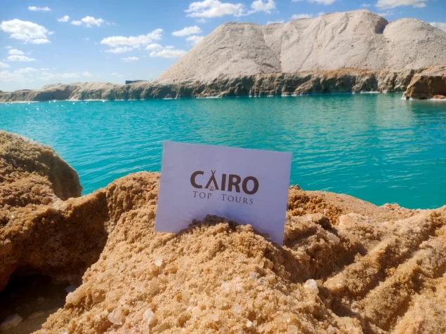
Lake Hamra or Ayoub's well as its people call it attracts visitors for medical tourism because it is distinguished by its high salinity and its healing properties specifically for patients with skin diseases..and this lake is located in the middle of the desert road linking the cities of Alexandria and Cairo in the Wadi Natrun region.
The arid desert embraces that lake, which is characterized by extreme salinity. In the middle of this lake, an eye bursts out from which a source of the sweetest and most healthy food with a miraculous ability to heal skin diseases explodes. As a result of the flow of this sweet water on this extremely salty spot, a brilliant colored gradient plate is formed, announcing the power of the Creator.
The most significant monasteries in the region of Wadi El Natrun:
- Monastery of Anba Bishoy:
The Monastery of Anba Bishoy is the largest of the monasteries in Wadi El Natrun. This monastery is named after Anba Bishoy, a disciple of Anba Macarius.
-Monastery of Baramous:
The name of Baramous Monastery goes back to Saints Maximus and Domatius of Rome, two Roman fathers of the fourth century AD.
-Monastery of Abu Macarius
-Monastery of the Virgin Mary of the Syrians
The Monastery of the Virgin Mary of the Syrians is one of the four monasteries remaining in Wadi El Natrun in the Western Desert of Egypt, and it is also the smallest.
This monastery was found in the sixth century AD and was first called “Our Lady of Anba Bishoy” as some monasteries with a double name had been established. The monks established a church next to each main monastery.


